Hiking Acatenango and Fuego: A Brutal, Unforgettable Trek
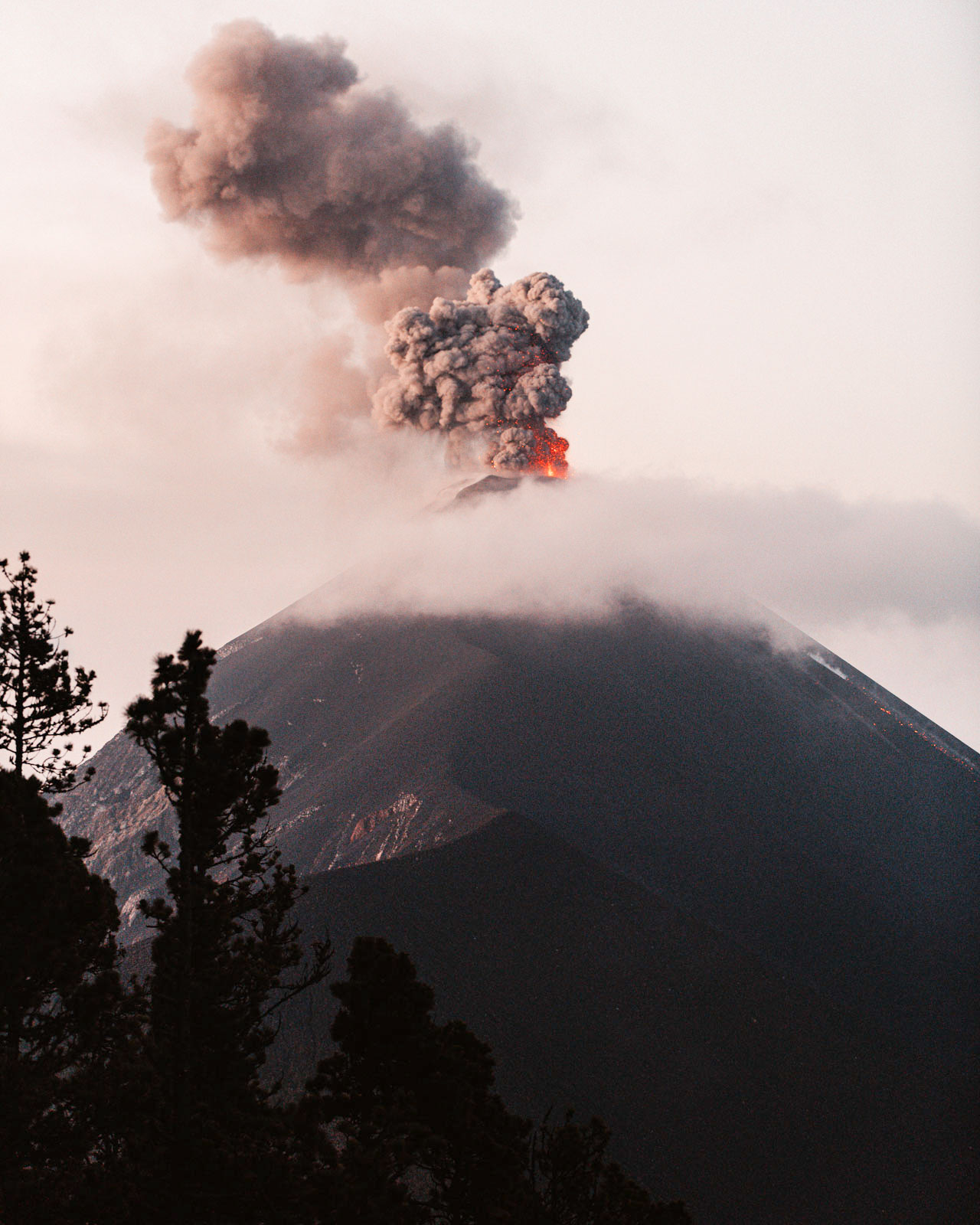
I’ve never cried on a hike—until this one. And I’d still do it again.
Hiking Guatemala’s Acatenango and Fuego volcanoes is one of the hardest, wildest, and most incredible things I’ve ever done. It’s also one of the most punishing. If you’re considering this trek, this post is part story, part survival guide: what to expect, how to prepare, and what I wish I’d known before setting off.
Why Hike Acatenango and Fuego?
If you want to stand at nearly 4,000 meters and watch an active volcano spew lava into the night sky, this is your hike. Acatenango is dormant, Fuego is not, and together they offer one of the most surreal and humbling experiences in Central America.
The two-day trek takes you through farmland, cloud forest, and into the cold thin air of basecamp with a front-row view of Fuego’s near-daily eruptions.
It’s awe-inspiring. It’s also freezing, exhausting, and occasionally soaked in hail.ort is well worth it.
Booking and Prep: Start in Antigua
Our trip began in Antigua, Guatemala—a pastel-colored town framed by volcanoes and full of cobbled streets, mercados, and backpacker cafes. We booked a two-day hike through a local outfitter, which included transport, food, and camping gear.
Tip: Look for companies that provide warm sleeping bags, meals, and experienced guides. Some also offer gear rentals (jackets, boots, backpacks) if you’re not traveling with your own.
The Hike: Day 1
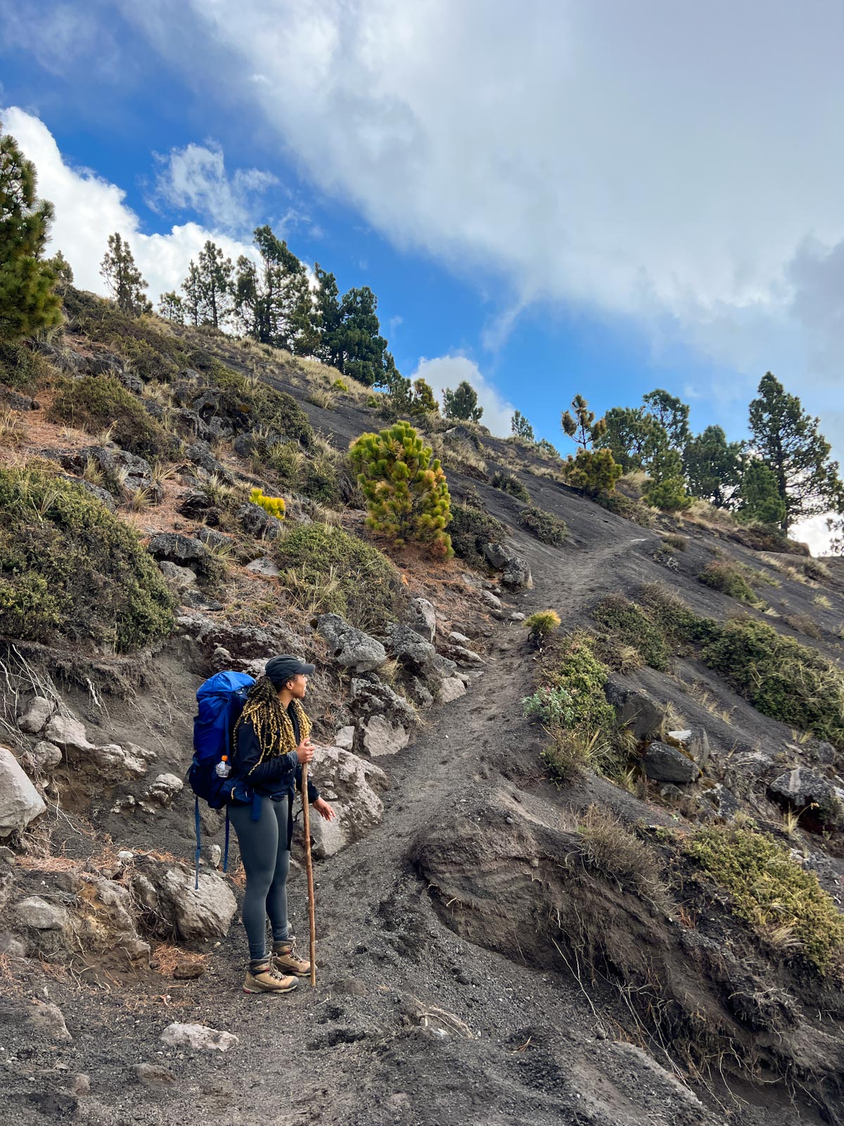
We set out early with a group of 30+ hikers, winding first through cornfields and coffee farms before hitting the steep, dusty switchbacks that would define most of the day.
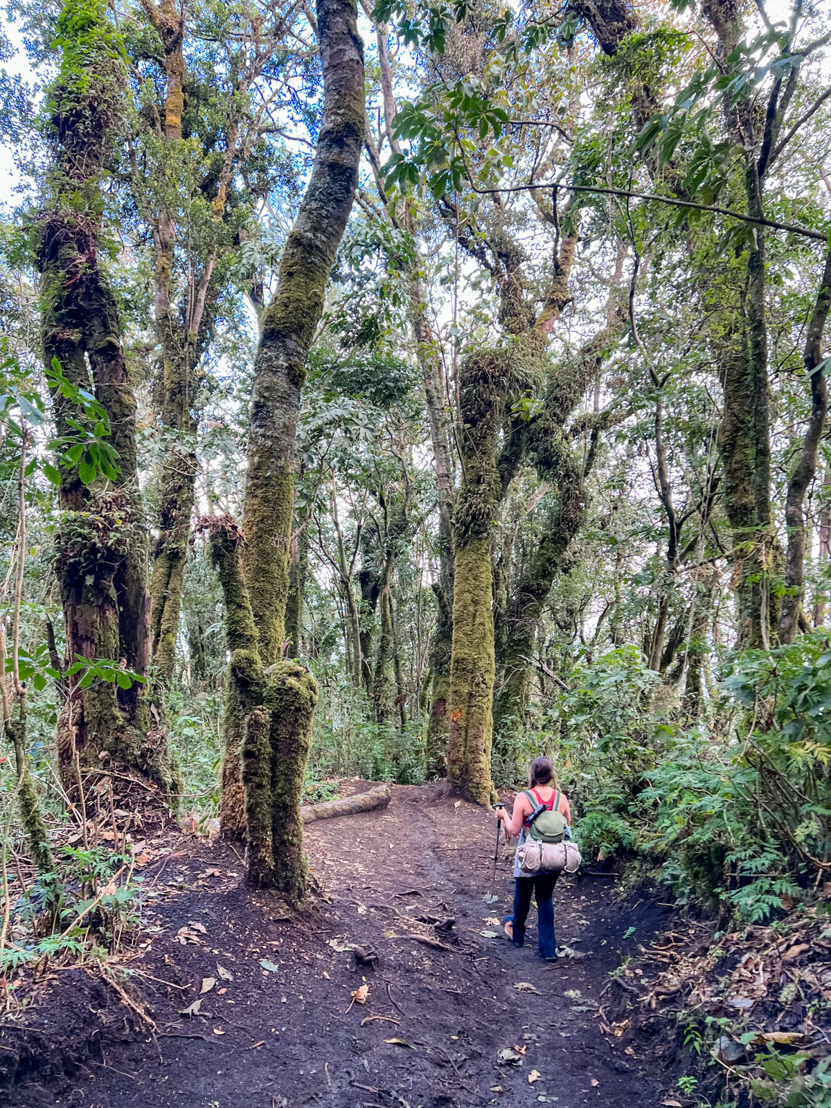
The scenery shifted as we climbed: lush greenery gave way to pine forest, then cloud forest. Moss and orchids clung to trees. Mist closed in around us. Our breath shortened.
Tip: Acclimatize in Antigua for a couple of days before hiking. Altitude sickness is real, and the climb is steep and steady. Trekking poles help. So do frequent breaks.
By late afternoon, we reached basecamp at around 3,000 meters. We set up tents, shared a hot meal of rice, beans, and tortillas, and huddled by the fire. That warmth felt like salvation.
Until it wasn’t.
The Fuego Optional Hike: Proceed with Caution
There’s an optional side trip to hike closer to Fuego’s ridge—about a four-hour round trip that leaves around sunset. We went for it.
A hailstorm rolled in fast. Our trash bag ponchos disintegrated. We were soaked, frozen, slipping in volcanic mud, and descending in the dark. Tears were shed. Six weeks later, parts of my big toe were still numb.
Tip: Skip the Fuego hike if it rains or hails. Unless you’re fully waterproof—and I mean head to toe—it’s not worth it. Fortunately, the guides called it off before things got worse, but we were already deep in the misery.
Back at Basecamp: Fire, Fog, and Melted Shoes
We returned to camp wet and miserable, trying to dry clothes by the fire. Several shoes (and their soles) didn’t survive. Pro tip: don’t get too close to the flames.
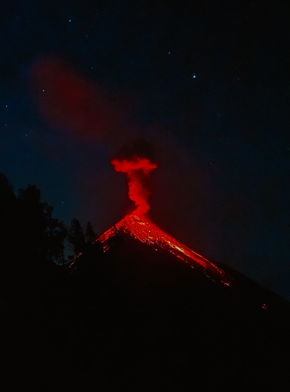
Later that night, those with dry enough gear hiked to a viewpoint. Through the mist and rain, we saw Fuego erupting—lava glowing in the dark, ash billowing skyward. It felt like watching the Earth exhale.
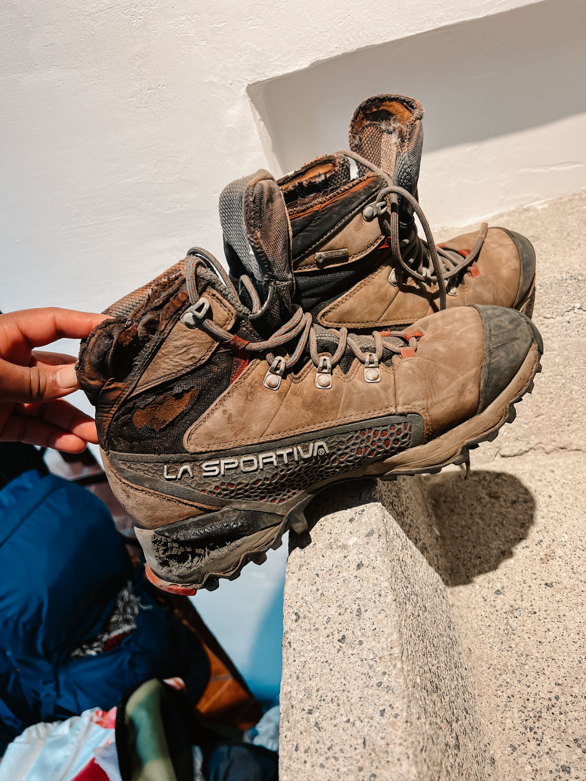
Fire-burnt hiking shoes
Summit Morning (Optional, Again)
At 4:30 a.m., the camp stirred. Only a few had the energy (and dry clothes) to attempt the final ascent to Acatenango’s summit. The rest of us stayed behind, too wrecked to move.
Those who did summit came back glowing. And frozen.
Tip: If you’re on the fence, make the call based on how you feel. The summit is a tough, cold 90-minute climb, but the views—if it’s clear—are unforgettable.
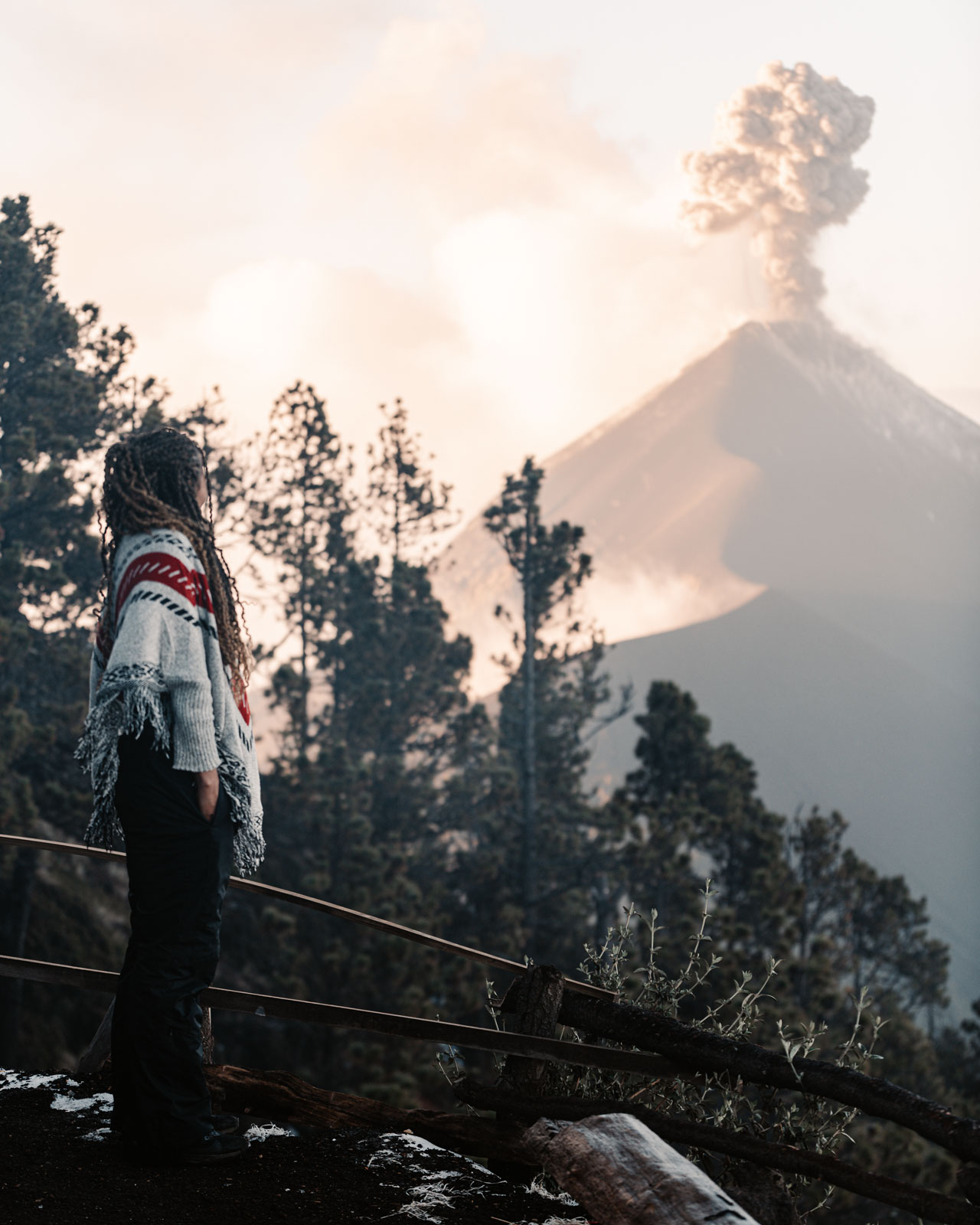
Watching Fuego in awe erupt every 15 minutes
The Descent
We had our final meal, packed up, and headed down. It was faster but brutal in its own way. Quads burned. Some people who had taken horses up were now on foot and struggling.
Altitude sickness hit a few hikers hard on the descent: nausea, dizziness, shortness of breath. Only a fraction of our original group had made it to the summit.
SUMMARY
Over the course of two days, you’ll have up to three hikes to choose from:
- The Hike to Basecamp (morning – afternoon)
- Approx. 9:30am – 4:00pm
- This is the main trek—4 to 6 hours uphill with breaks. It’s the heart of the experience, and it’s perfectly okay to skip the others if you’re not feeling up to it.
- Optional Fuego Hike (Evening)
- Approx. 4:30pm – 8:30pm
- A 3–4 hour round-trip to a Fuego viewpoint. Epic but punishing—only attempt in clear weather and with full rain gear.
- Optional Sunrise Summit of Acatenango
- Starts at 4:30am | ~2 hours round trip
- A short but intense final push to the top. Worth it if conditions are good and your legs are still functioning.
Horseback options:
You can ride a horse up to basecamp, have your backpack carried by horse, or hire a porter. I carried mine for the thrill (and maybe the bragging rights).
Tips
- Book your hike with Soy Tours – reliable, organized and experienced
- Research Fuego’s eruption levels – very recently (2025), eruption activity dwindled
- Bring real gear – hiking shoes, waterproof jacket, gloves, insulated layers
- Pack extra clothes – especially socks and a dry base layer
- Rent trekking poles and a headlamp – total lifesavers on steep and dark trails
- Bring light, high-calorie snacks – think trail mix, protein bars, candy
- Keep your pack as light as possible – your back and knees will thank you
- Check out this adventure packing list for more items
If you’d like a detailed Guatemala travel itinerary to help plan your own trip, check out this blog post!
Related
Leave a Reply Cancel reply
You must be logged in to post a comment.
Before you go, be sure to subscribe so you don't miss out on the latest blog posts, opportunity to travel with me and more!
Explore With Me
Thank you!
You have successfully joined our subscriber list.
design by oregon lane
privacy policy
all rights reserved